The Benton Irrigation District’s (BID) Water Conservation Program aims to improve irrigation systems to enhance the water in the Yakima River Basin by permanently returning water to the river. New sub-mains will be installed along existing roads or utility corridors in a project area that covers 5.5 acres. Plateau was retained for archaeological monitoring of the BID’S Irrigation System Improvements.
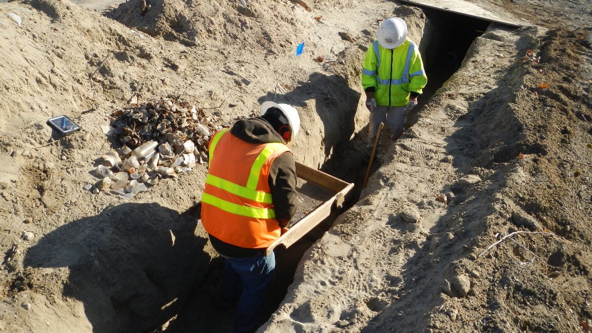
In total, Plateau monitored excavations along 5,150 ft (1,569.6 m) of the waterline installation. This totals about 20.6% of the Project Area, and resulted in the monitoring of approximately 1,357.6 yd3 (1,033.3 m3) of material. One historic artifact concentration was observed during excavation activities. It is likely that this is a domestic deposit that accrued over a period of about 30 years with intermittent burning to reduce the volume. It is unclear if this is the original location of the deposit, or if it had been moved to this location, possibly a pit or trench, when the neighborhood was developed. Based on the results of the probing and depth of materials, we also believe that this site is well protected from general impacts.
The Benton Irrigation District’s Irrigation System Improvements, Phase 3C resulted in no historic properties affected.
Location: Benton City, Washington