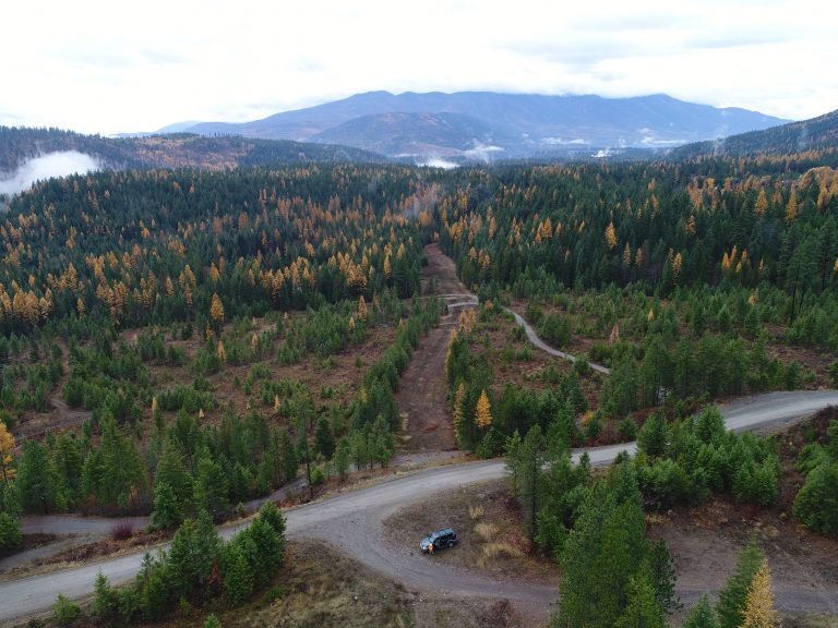
Drone and GIS Services
Drone and GIS services can allow for the collection of data in larger areas or more challenging conditions like steep slopes, overgrowth of poisonous plants, areas with active rattlesnake populations, and following national disasters. These innovative, technologically driven, archeological techniques can be cost effective when compared to more conventional methods and can provide large numbers of data points easily integrated with other available data. Plateau’s FAA-licensed archaeological staff can use aerial photography, videography, mapping, GIS and drone services to create monitoring plans, and facilitate the management of cultural resources. Additionally, drone services can easily be replicated over time to provide data on changes in the landscape and capture more subtle geographic features that might be imperceptible from ground level.
Process
This is generally a four-step process. After identifying the purpose of the survey, the project area is identified. Using this information, a mission plan is established, and FAA clearance is obtained. The proposed and cleared plan is then executed. After completion of the work, data and deliverables are prepared and provided to the client.
1.
IDENTIFY PURPOSE AND PROJECT AREA
2.
ESTABLISH MISSION PLAN AND OBTAIN FAA CLEARANCE
3.
PROPOSED PLAN IS EXECUTED
4.
PREPARED DATA AND DELIVERABLES ARE SENT TO THE CLIENT
Who Needs It?
Large projects with substantial acreage (50+) can often benefit from the usage of drones and GIS. Projects with a need for large scale aerial mapping often use drone services. These types of large-scale assessments can expedite the creation of a probing strategy map and assist with pre-project planning.
FAQ
We use two types of drones at Plateau. The primary drone used is the DJI Phantom 4 Advanced. We also have a DJI Mavic Mini. All our drones are registered, insured, and piloted by FAA licensed pilots on our staff.
There are proximal distances required from airports and restrictions regarding elevation from ground level and structures. Additionally, the FAA weather requirements specify a 3-mile visibility from the station, and that drones be flown in daylight or within 30 minutes of sunrise or sunset. Drones may be used in state parks but may require permits (WAC 352-32-130). They may not be used within structures, nor operated from moving vehicles or other aircraft.
Yes, and becoming ever more so! Drones can survey large areas quickly and with great accuracy. They also allow for more precise replication and comparison overtime.