This project involved the construction of a 120-foot (36.6-meter) tall self-supporting communication tower, and associated equipment installation, including an equipment shed, within a leased area near Frenchtown, in Walla Walla County, Washington. As the project was subject to the standards set forth in the March 7, 2005 Nationwide Programmatic Agreement (NPA), Section VI.C.4.a, the visual Area of Potential Effect (APE) was defined at 0.5 mile (0.8 kilometer).
Background review revealed that the Project Area falls with a half-mile of portions of the battlefield for the Battle of Frenchtown, also known as the Battle for Walla Walla. The historic running battle took place in December 1855 between Walla Walla, Cayuse, and Umatilla Indians camped with Chief Peo Peo Mox Mox and the First Regiment of the Oregon Mounted Volunteers. Accused of looting the abandoned Fort Walla Walla, Peo Peo Mox Mox and several of his companions were tracked and captured under a false truce in the Touchet River Canyon. Following his capture, the Volunteers gave chase to nearly one-thousand Indian elders, women, and children who were defended by several hundred Indian warriors.
The ensuing battle stretched nearly ten miles along the Walla Walla River, ending after Peo Peo Mox Mox and his prisoner companions were shot, beaten, and mutilated by the Volunteer troops, and the surviving Indians escaped to the east. The Project Area fell near the egress route of the Indians, as well as within sight of the famed Whitman Mission. As such, the Project Area was of great interest to several parties, each equally concerned for the preservation of such a historically and culturally significant landscape.
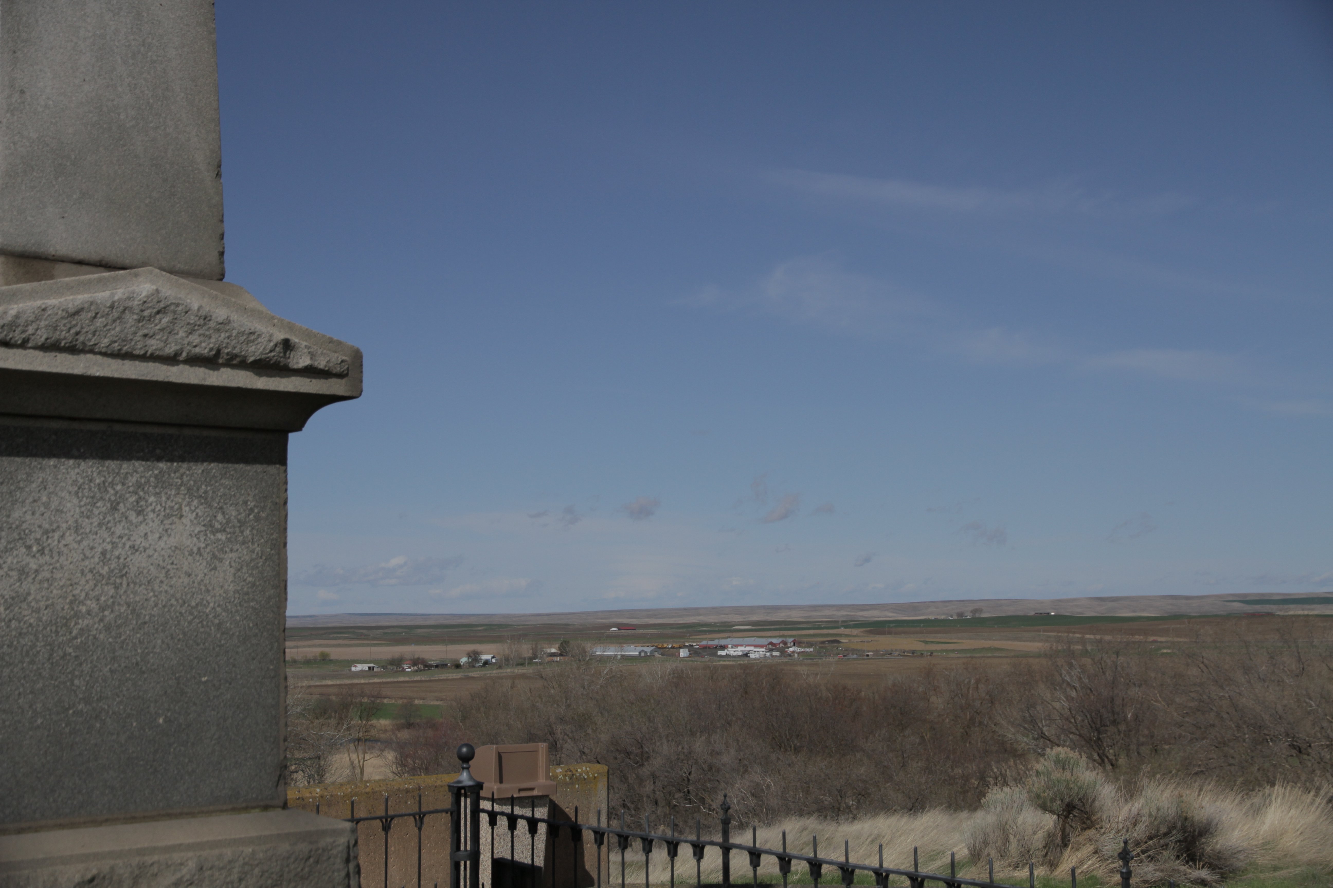
Plateau anthropologists and archaeologists worked together with tribal representatives, the State Historic Preservation Officers, and the client in order to identify and address the concerns of all parties. Plateau archaeologists conducted intensive pedestrian survey in the Project Area, subsurface testing, and extensive visual effect testing of all points of expressed or known interest, including several significant points beyond the defined visual APE. This visual effect testing involved the use of high-resolution photography, and meteorological balloons flown at representative altitudes, and post-processing to produce highly accurate virtual images of the proposed tower and its potential visual effect at every point of concern near the Project Area.
Based on the results of its cultural resource survey, Plateau did not locate any new archaeological or historic sites, and determined that the project would have no adverse visual or direct effects on the points identified during research or consultation. Plateau recommended that the project proceed as designed, and provided the client with guidelines if inadvertent discoveries were subsequently made. The State Historic Preservation Officer and Tribal Historic Preservation Officer concurred with Plateau’s findings and recommendations, and the project proceeded as planned.
Location: Walla Walla County, Washington