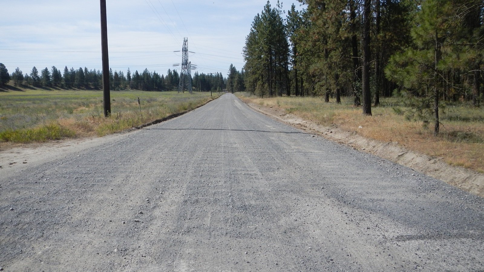
The Spokane County Public Works Department plans to reconstruct and pave the existing gravel Old Trails/Inland Road located in western Spokane County, Washington. The total length of the project is 1.99 miles and includes reconstruction, realignment, and paving of the Old Trails and Inland roads from Marchand Road to Seven Mile Road. The new road will be 36 feet wide and will consist of two 12-foot wide travel lanes with two 6-foot wide shoulders.
A review of previously recorded cultural resources and archaeological surveys was completed through the Washington Information System for Architectural and Archaeological Data maintained by the Department of Archaeology and Historic Preservation (DAHP). This search revealed 26 previously recorded archaeological resources and 20 previously conducted cultural resource surveys within 1.0 mile of the Project Area. One archaeological resource falls within or adjacent to Project Area. Additionally, the DAHP’s predictive model places the Project Area within an area of very high risk for encountering cultural resources.
Historic cartographic references indicate that neither Old Trails Road nor Inland Road exist in 1881. Land patents (e.g., homesteads, railroad, and cash sales) that included the Project Area were filed between 1891 and 1894. The 1905 and 1912 atlases show a road that passes through Sections 29 and 30 that generally aligns with Inland Road, but no portions of the Old Trails Road are depicted. The 1950 atlas shows both the Old Trails Road and Inland Road in their current alignments, as does the 1973/1986 USGS map.
No Native American or historic-era cultural materials or features were identified during the pedestrian survey or subsurface investigations of the proposed Old Trails/Inland Road Reconstruction and Paving Project. The pre-contact camp was not relocated, possibly due to the fact that the one non-FCR artifact was collected in 1990 during recordation of the site and road maintenance (i.e., grading, ditching, and graveling) may have dispersed or covered the FCR. This site was not evaluated for listing on the NRHP. The site is located in a section subject to a degree of cutting. Plateau recommended that an archaeological monitor be present during ground disturbance within this area.