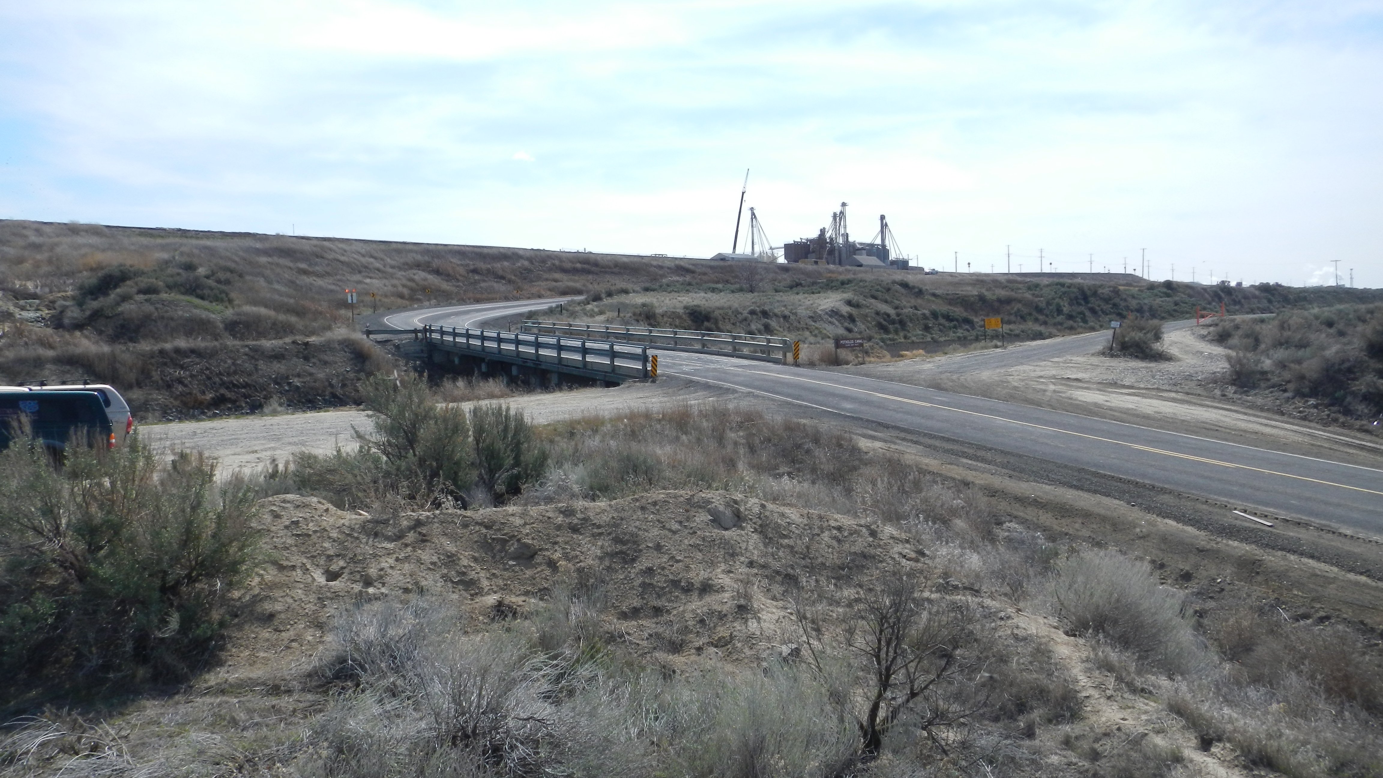
The Adams County Department of Public Works plans to replace the McManamon Bridge in northwestern Adams County, Washington. The current bridge will remain during the construction of a 35-foot wide, 165-foot long bridge located to the south. Approaches will be aligned to meet the new bridge. The area of potential affect includes 3,400 linear feet in Sections 21, 27, and 28 of Township 16 North, Range 29 East, Willamette Meridian.
The background research revealed no previously recorded archaeological sites within 1.0 mi (1.6 km) of the APE. Even so, the DAHP’s predictive model places the Project Area within an area of very high risk and high risk for encountering cultural resources.
Much of the Project Area is slope, or has been disturbed by the existing road, underground utilities, and agricultural facilities. Plateau archaeologists excavated three shovel probes in the agricultural field, none of which provided Native American or historic-era cultural materials or features. An Historic Property Inventory was completed for the existing bridge, and the structure was determined not eligible for listing on the NRHP by Plateau’s historian. The proposed undertaking will result in No Historic Properties Affected, and no further archaeological investigations are recommended prior to, or during, execution of this project.
Location: Adams County, Washington