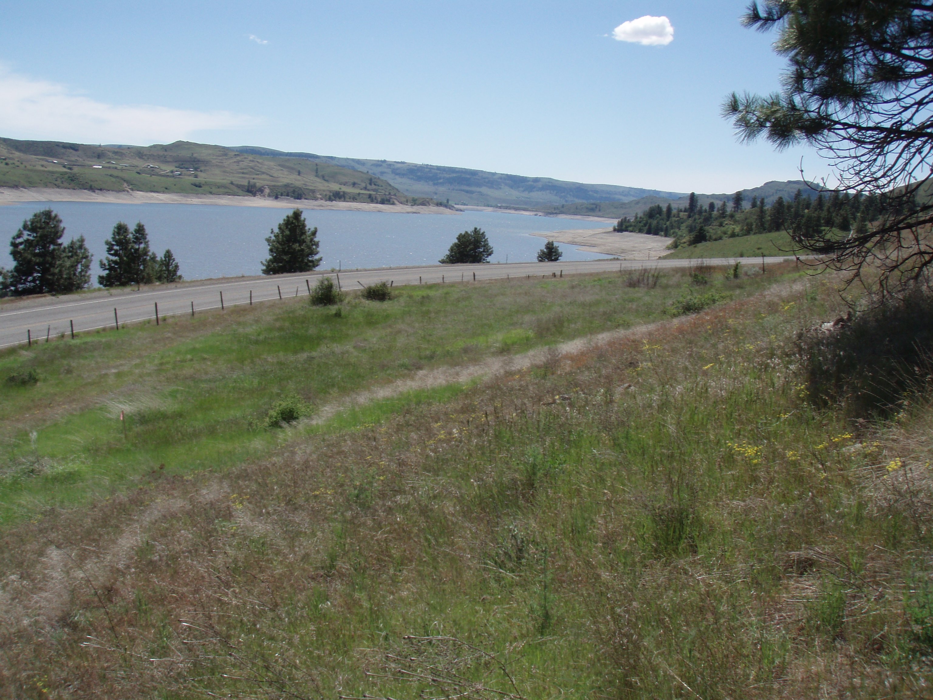
The project required replacement and realignment of several utility poles, and potential maintenance road construction along the realigned corridor. The Project Area is located west of the Sanpoil River and south of French Johns Lake and covered 7.5 acres along steep, east-facing slopes that parallel the western shoulder of State Highway 21. The confluence of the Sanpoil and Columbia Rivers, and the site of an ethnographically reported Indian village are located 3.8 miles south of the Project Area.
No previously recorded historic properties, archaeological sites, or potential traditional cultural properties (TCPs) were identified in the Project Area during pre-field research for the project. One new historic object, a cadastral survey marker, was located immediately south of the proposed transmission line corridor during pedestrian survey and was inventoried for the Department of Archaeology and Historic Preservation (DAHP). Plateau recommended that the client establish a 15 meter buffer to ensure that the historic object remained undisturbed during transmission line realignment and maintenance activities. The Confederated Tribes of the Colville Reservation (CCT) concurred with Plateau’s findings, and implementation of the project was determined to have no effect upon historic properties.
Location: Ferry County, Washington